Drone Services
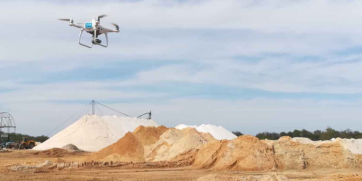
Aerial Inspection and Mapping Drone Services (AIM) uses leading equipment, software and people to provide the best service available. As our industry continues to develop and grow, we’re finding more ways to serve more customers.
Inspection & Monitoring
In a few minutes a pilot can capture several hours’ worth of high-resolution data. Workers no longer must climb up and around power lines, cell towers, or bridges. They don’t have to walk miles of railways or oil and gas pipelines. Once the data is collected, our team can supply the raw files or process, analyze, and deliver the results. For best results inspections should follow a regular, ongoing schedule.
Site Mapping
Services such as Google Earth can take years to update. Our team will fly over your site taking hundreds of photos. These photos are then stitched together to create a high-resolution image. They are also useful for stormwater plans and safety action plans, among other things.
Stockpile Volumetrics
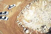
Can you look at a pile of rock or dirt and accurately audit how many cubic feet it contains? AIM uses Lidar (Light Detection and Ranging) and Photogrammetry. We can give a precise total using these two, along with our Remotely Piloted Aircraft.
Construction Documentation
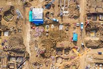
We provide Photo documentation either from an aerial or ground view. Raw files are deliverable before we leave the site. They are also archived for at least 3 years from the project’s completion date. We work with you to determine the ideal documentation frequency.
Aerial photography and Videography
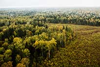
Create stunning, high-resolution photos and videos to add a distinct perspective. Unique angles, panoramas, and long exposures are all available. Since we use only commercial pilots our work is usable in commercial applications.
Multispectral Mapping
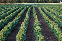
A UAV equipped with a multispectral sensor sees things your eyes can’t. They’re used to manage crops, soil, fertilizer and moisture content. Plant health, soil fertility, pest identification are a few of the ways it is being used by the Agri industry. Multispectral is also used by landfill, mining and other environmental fields.
Limitations of Service
Some projects may be in restricted air space. In these cases, we can get waivers from the FAA to allow this work. Waivers are generally approved in 24 hours, but certain locations take more time.
Weather delays such as rain and reduced visibility can delay a project. A grounded flight can also result from winds exceeding 15 mph. Ultimately, the safety of the equipment, crew and client is paramount. The pilot in command can postpone a project at their discretion. We will always err on the side of caution.
There are limitations on flying over people, traffic and at night. In some cases, waivers allow these activities. For example, they might be scheduled for weekends or at first light to find a safe window. Night flying requires special equipment and a waiver.
